Awoke early in the morning, but the weather was muggy - dry, but overcast and very humid - and so I decided to do some exploring instead of trying to get better versions of the same shots elsewhere (i.e. at Baihe and Agongdian reservoirs). I've only been to Jianshanpi reservoir once before, when it was bone-dry. This time I decided I would explore the little farmer's road that runs around the back (to the east, heading south) to see if I could find a vantage point or two from where I could overlook the entire reservoir and in particular the entry points for its' feeder river.

I started by first looking at the spillway channel, downstream from the spillway itself; it has been left unmaintained for years so that it is now full of silt and plants with the water squeezed into a narrow channel on one side...

That channel then makes a hairpin right turn around the concrete levee standing to the right. Strangely, I found another waterway running in parallel to the spillway outlet channel, but this one had a series of ten flood control gates passing under the concrete levee...

Once that stream passes out under the levee, it enters the same riverbed as that of the main spillway channel. The image below shows the exit passages for the ten gates on the other side of the levee. The crest of the reservoir's dam is visible to the top-left...

Leaving the levee behind, I got onto the little farmer's road which leads up around the reservoir eastward roughly following the course of the reservoir's feeder river. Although the Jianan Resort Hotel which overlooks the reservoir was easily visible from this little backroad, the reservoir itself was not - I tried one little by-road which took me to the foot of one of the electricity pylons that stand over the reservoir's eastern side, but there was too much bamboo to see anything. Shortly afterward, the little road splits in two, and I took the right turn to descend and more closely follow the course of the river through the banana farms. There were one or two spots where road and river crossed paths...

The colour of the water indicates that it is full of clays; that tree-topped ridge, which looks like sliced cake is very similar in shape (and probably in its clay and rock composition also) to those that define the eastward contours of both Baihe reservoir to the north and Wushantou reservoir to the south. Turning to the other side of that little bridge across the river...

The water is again squeezed into narrow little channels either side of a large bed of reeds that has grown up amidst all the clay and silts that the river has brought down over the years. I wonder if there has ever been any remedial work done on this river - the Guantian river that winds its way over several kilometers of a similar landscape before it enters Wushantou reservoir doesn't look anywhere near as bad as this.
Further along toward the east, the road began to ascend and that's when I made a sorry little discovery - a suspicious green ribbon lying in the middle of the road. I drove past it at first, but immediately turned around realizing what it was...

Cyclophiops major, probably a bit short of two feet long. Snakes are a very rare sight unless they've been run over by some farmer's truck or scooter - like this one presumably. This one looked to have been dead for only a short time, as the body has yet to show signs of decomposition, which makes me think it happened earlier in the morning but that doesn't fit with my preconception of snakes as mostly nocturnal hunters. At any rate, the poor thing looks to have taken a tyre (or two) right over its' neck.
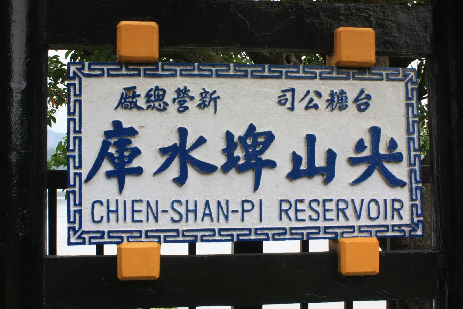
I followed the little road to its apex, exiting out onto route 174 behind Wushantou reservoir and then drove back the way I had came. I decided to quickly drive up to Dongshan to stop at a 7-11 to get some breakfast and some cash, and then head back to Jianshanpi reservoir and this time go inside the grounds (there is an NT$100 entrance charge) for a nose around the place and get some more pictures whilst it had water in it...

Now that it is typhoon season, the reservoir was full and water was flowing over the ogee-crest down the spillway. At the larger reservoirs, debris is never allowed to get anywhere near the spillway and is held back by a line of floating buoys in front of the spillway crest. Here however, there is no such line. I guess the broken branches will eventually be removed during the dry season - probably from the bottom of the spillway.


Intersecting wave patterns made by the movement of boats on the water's surface; when I was last here, this was all bone-dry.

A view across the dam looking approximately west to east; the entry point for the reservoir's main feeder river is somewhere over the horizon. The dam itself is an earth-filled dam with one unique feature so far as I can tell - unlike every other reservoir dam in Taiwan, this one actually has a rooftop over the crest walkway! This is because the reservoir is now a converted tourist attraction (though it understandably doesn't attract large numbers of tourists), and it even has a little toy, motorized train for the kids, as well as a number of little roofed pedal boats...

One thing I did find on this trip which I missed last time I was here, was this little information panel installed in December 1967 which informed me of the previous problems the dam suffered from in the thirty years since its completion in 1938, and of the various methods different generations of engineers used to try to solve these problems...

Unfortunately, this was - in my opinion - a case of trying to communicate too much in too short a space; I really wanted more information than this, and have once again been left to my own devices to try to locate it and do my best with guesswork. Next to this panel, there was this glass covered model of the water catchment area for Jianshanpi reservoir with a map overlaid on the glass...

However, whilst the map of the reservoir etched out on the glass looked similar to the one available on google maps, the modelled catchment area inside the cabinet didn't seem to feature the reservoir at all. It was also difficult to compare the two representations due to the interference of reflected light. It's an amazing thing to consider cartography prior to the use of satellites; not only did the designer of this map of the reservoir attempt to capture the non-linear curves and "squiggles" of the reservoir's outline in accurate proportion to one another, but he's also traced out the curves of seemingly all the minor waterways - really just little streams - around the front and back end of the reservoir. The need to be able to do this accurately way back then (either in the mid 1960s when this was display was made, or back in the 1930s when the reservoir was being designed) is surely related to the need to be able to calculate water volumes and flows accurately. It must have been painstaking work requiring a lot of mosquito bites and many hours out in the sun measuring the twists and turns.

After climbing the little hill overlooking the reservoir's northern section facing the spillway and hotel, I decided to head back home. As I was leaving I stopped to talk to a chap whose job seemed to have something to do with reservoir maintenance (he might have been the chap using the motor-boat in one of the pictures above); I didn't ask him about the absent debris line, but I did ask him whether there really was only one feeder river (only one is visible on google maps, but I wonder whether there might not be a second one at the reservoir's southern extremity). He said that they were in fact two, but was then quickly corrected by his colleague who said that there were in fact three - but I think he meant the underground conduit supplying water to the reservoir from the Gueichong river, which I think is the river flowing down from the Dongshan mountains to the north of the reservoir's dam and which must be the one I had seen running parallel to the reservoir's spillway channel and exiting out under the ten gates of the levee (see above). I left with a standing invitation to call them up and arrange for a boat to explore the reservoir's extremities. As best as I know*, Jianshanpi is Taiwan's third oldest reservoir (1936-1938) after Wushantou and the two parallel reservoirs at Sun Moon Lake. I've got a feeling I'm going to learn a few more things about this reservoir.

*However, there is a tiny little reservoir up in the mountains overlooking Hualien city, which at the moment I know next to nothing about (not even its name). However the presence of the Japanese-constructed Tongmen hydroelectric power station a few kilometers away makes me suspect that the tiny reservoir may also have been the work of the Japanese.
No comments:
Post a Comment
Comment moderation is now in place, as of April 2012. Rules:
1) Be aware that your right to say what you want is circumscribed by my right of ownership here.
2) Make your comments relevant to the post to which they are attached.
3) Be careful what you presume: always be prepared to evince your point with logic and/or facts.
4) Do not transgress Blogger's rules regarding content, i.e. do not express hatred for other people on account of their ethnicity, age, gender, sexual orientation or nationality.
5) Remember that only the best are prepared to concede, and only the worst are prepared to smear.