 |
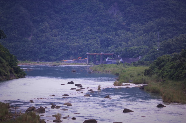
| Late afternoon panorama shot at the south end of the reservoir. |
Last week I stopped briefly at "Little Switzerland" on my way (via roads 171,174 and 175) to Baihe reservoir. Whilst there I gave my beef jerky to the dog who seemed to remember me and found that a set of porto cabins had been put up and a large blue sign erected informing the public of a proposed new underground tunnel. I stopped to ask the engineers for water and we talked about the tunnel. Apparently it will be a replacement for Yoichi Hatta's tunnel which diverts water from the Tseng-wen river to the sink hole at "Littel Switzerland" and thereafter into the Guantian river which then feeds Wushantou reservoir. The main reason I was given for the necessity of this was that the walls of the original tunnel are now suffering badly from erosion after eighty six years of continuous use. An additional advantage is apparently that the new tunnel can be constructed with a much reduced diameter compared to the original (thus increasing pressure and thereby rate of flow) and it can also be set at a sloping angle whereas the original tunnel was flat. Intrigued, I had decided that some time would have to be set aside to start photographing this development as it unfolds.
So this afternoon I drove out to Tseng-wen reservoir to see if there were any early signs yet of construction beginning to take place. When I arrived at the toll booth (NT$70), I asked the woman and she said the construction hadn't started yet. However, when I drove across the entry bridge which spans the Tseng-wen river I immediately saw the construction signs downstream giving information for the public, so I went over to take a look...
 |
| Project name: New Wushan Ridge Diversion Tunnel Project. |
 |
| The cost is NT$2.49 billion dollars, though I do not understand why this isn't written directly but rather in units of NT$1,000. |
 |
| This diagram shows the original entrapment pen on the Tseng-wen river connected to the weir (bottom) and the blueprint for its' replacement (top). |
 |
| Detail of the other side of the diagram showing the proposed new "west mouth" exit point (right) somewhat further back from the original west mouth exit (left). |
 |
| Downstream gaze toward the existing weir and entrapment pen for Yoichi Hatta's eighty six year old diversion tunnel. Its' replacement will be built a few meters upstream. |
I drove on upstream to check on the construction progress for the new sluiceway. Here is the double-barrelled exit point...
 |
| The floor of the tunnels has now been excavated in order to allow for the pipe fitting and subsequent construction. |
Leaving the area downstream from the dam behind, I drove up to the dam crest to observe the reservoir at close to full capacity...
 |
| The guage on the side of the spillway pen is meters above sea level. |
 |
| Gazing downstream toward the other construction site for the new sluiceway, with the dam off in the background to the right. As the reservoir is now just about full, any work on the sluiceway tunnel must be carried out on the inside, if at all. |
For further progress on the new sluiceway, I may have to wait until next year and it's also likely that construction on the new Wushan diversion tunnel won't begin until the winter when the water level falls, although preparatory work will be carried out between now and then. Hopefully there should be some observable progress six months from now.


No comments:
Post a Comment
Comment moderation is now in place, as of April 2012. Rules:
1) Be aware that your right to say what you want is circumscribed by my right of ownership here.
2) Make your comments relevant to the post to which they are attached.
3) Be careful what you presume: always be prepared to evince your point with logic and/or facts.
4) Do not transgress Blogger's rules regarding content, i.e. do not express hatred for other people on account of their ethnicity, age, gender, sexual orientation or nationality.
5) Remember that only the best are prepared to concede, and only the worst are prepared to smear.