Images from last Sunday's (Janurary 10th) trip to Nantou. Instead of taking the train from Ershui to Shuili, I drove from Ershui through Changhua and Nantou first to Jiji, and then on to Shuili and eventually to Wuchieh. More to follow when I get time...
 |
| Looking westward to the upstream face of the Jiji barrage on the Zhuoshui river. |
 |
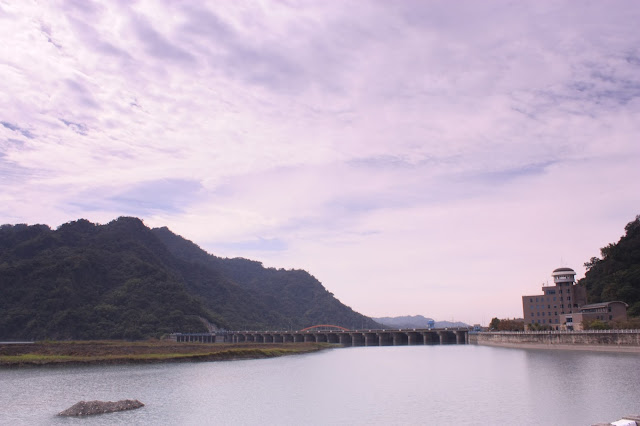
| On top of the barrage looking eastward with the water gates on the river's southern shore on the right |
 |
| The downstream face of the Jiji barrage; there are twenty-two tainter gates in total, making it longer than either the Ma'an or Shihgang barrages in Taichung county. |
 |
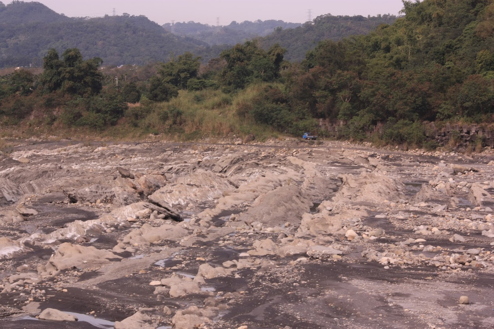
| Immediately downstream from the barrage; the river bed is extremely rough. |
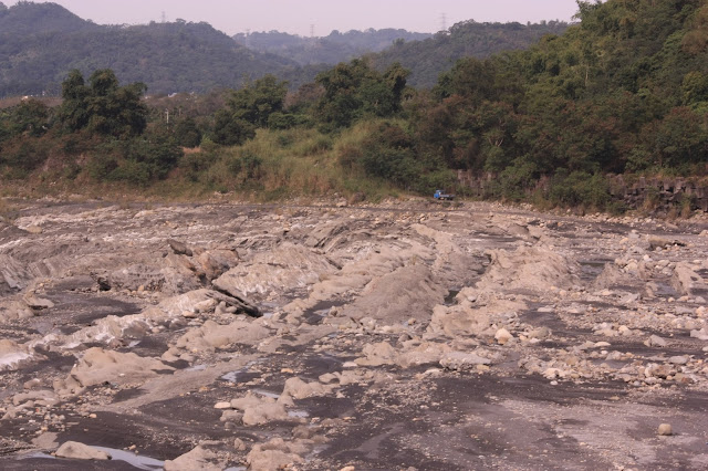 |
| Rows of jagged rocks. |
 |
| After the first set of baffling blocks there is an additional square stacked with old truck tyres to further dissipate the energy of flood waters. |
 |
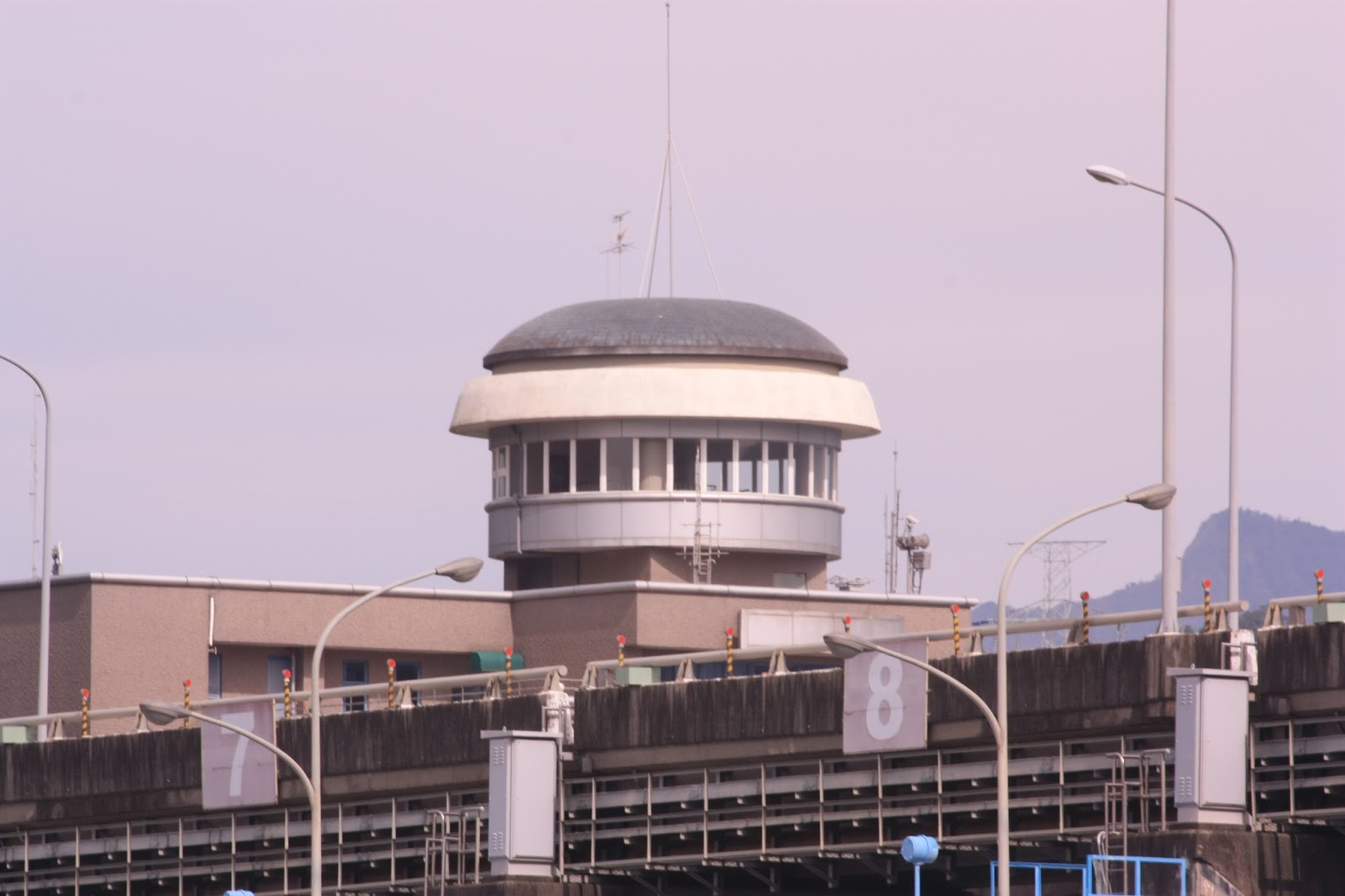
| The observation tower at the Water Resources building adjacent to the barrage. Unfortunately I didn't have time to stop. |
 |
| In addition to the road running along the top of the barrage, there is another road placed immediately in front of the gates on a raised platform. |
 |
| Overlooking Puli on the 71 from the same location as on the previous Sunday; this time there was neither fog or rain and the view was consequently much clearer. |
 |
| Overlooking Wuchieh reservoir, which is essentially little more than a large bend in the Zhuoshui river punctuated by two dams; the one to the left serves to entrap water for a diversion tunnel to Sun Moon Lake (which was completed in 2006), whilst the one to the right feeds a small hydroelectric plant. |
 |
| A close-up on the entrapment pen for the new diversion tunnel to Sun Moon Lake; the dam is to the right, partially out of shot and the tunnel to the far left is for the road (Nantou 71). The tunnel to the right of that is a works tunnel to provide access to the rampart of the entrapment pen. The studs covering the carved out section of mountainside are water release pipes to prevent catastrophic subsidence. |
 |
| The dam for the hydroelectric plant, partially obscured by the northern shoreline of the river. |
 |
| Overlooking the reservoir from a small gallery above the hydroelectric dam. Note the sharp difference in the colour of the water, which is produced at least partially by the enormous quantities of sediment the river contains: a turquoise blue to the right and a grey colour to the left. I am not yet sure why the water to the right should appear turquoise... |
 |
| From the rickety old wooden suspension bridge overlooking the riverbed downstream from the two dams. In the foreground there is a water pipe suspended in the same manner as the bridge, whilst in the background there is a zip line to winch supplies to and from the dam. That is because the suspension bridge is too weak to support a car or truck and the slope on the other side is extremely steep, perhaps 1:3 or even 1:4. Note also the cars and excavator on the river bed in front of the sluiceway mouth - all of that piled up debris is likely to be sediment from the reservoir extracted during maintenance work. |


No comments:
Post a Comment
Comment moderation is now in place, as of April 2012. Rules:
1) Be aware that your right to say what you want is circumscribed by my right of ownership here.
2) Make your comments relevant to the post to which they are attached.
3) Be careful what you presume: always be prepared to evince your point with logic and/or facts.
4) Do not transgress Blogger's rules regarding content, i.e. do not express hatred for other people on account of their ethnicity, age, gender, sexual orientation or nationality.
5) Remember that only the best are prepared to concede, and only the worst are prepared to smear.